


Location and Boundaries
The district of Ahilyanagar shown on the map of Maharashtra state. This district is situated in the central part of the state.
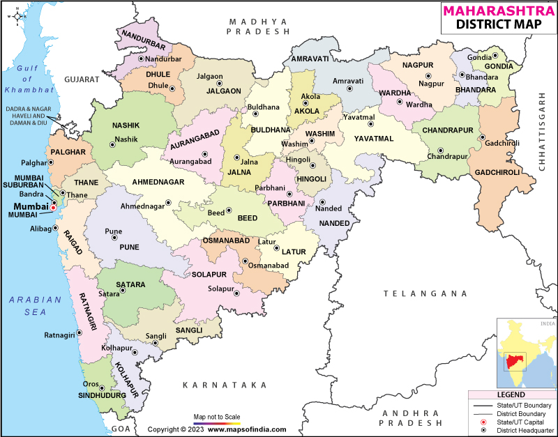
Maharashtra Map
Location
North Latitude (degrees) 18.2 to 19.9
East Longitude (degrees) 73.9 to 75.5
Area
Total area (Hector) 1741271
Forest ( Hector) 151571
Under irrigation ( Hector) 425100
Under Non cultivation ( Hector) 133356
Boundaries
To the north of the Ahilyanagar district lie the districts Nashik and Aurangabad .
To the east are districts of Beed and Osmanabad.
To the south lie Solapur and Pune.
To the west lie the districts of Thane and Pune.